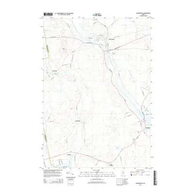
2014 Map of Cherryfield
USGS Topo · Published 2014About this map
The Narraguagus River serves as the central artery for this coastal Maine landscape, winding from The Crotch through the heart of Cherryfield and down to the tidal reaches of Milbridge. The map reveals a community defined by its waterways, with the West Branch Narraguagus River and numerous tributaries like Tunk Stream and Beaver Meadow Brook shaping the local geography. Small settlements and points of interest are scattered across the terrain, including Unionville, Smithville, and East Steuben. Near the coast, Baker Point and Baker Cove mark the transition to the Atlantic, while inland features like Burke Hill provide elevation. This 2014 survey documents the modern road network, including the Cherryfield Stretch and Old Co Rd, alongside enduring local landmarks such as Evergreen Cem.
Find a feature on this map
75 named features on this map. Tap any name to fly to it.
Don’t see what you’re looking for? This feature index may not catch every label — zoom into the map to look around manually.
Map Details
Editions of this 2014 Cherryfield Map
This is the sole edition of this map. No revisions or reprints were ever made.
Other maps of this area

1902 · Cherryfield
USGS Topo · 1:62,500

1904 · Cherryfield
USGS Topo · 1:62,500

1904 · Bar Harbor
USGS Topo · 1:62,500

1904 · Petit Manan
USGS Topo · 1:62,500

1930 · Tunk Lake
USGS Topo · 1:48,000

1932 · Tunk Lake
USGS Topo · 1:62,500

1942 · Bar Harbor
USGS Topo · 1:62,500

1942 · Cherryfield
USGS Topo · 1:62,500

1942 · Tunk Lake
USGS Topo · 1:62,500

1948 · Bangor
USGS Topo · 1:250,000