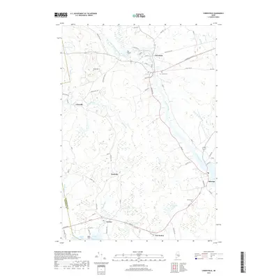
2018 Map of Cherryfield
USGS Topo · Published 2018About this map
The Narraguagus River and its branches define the landscape of this Downeast Maine region, serving as the central artery for several coastal and inland settlements. Cherryfield sits at the confluence of the river's West Branch and main channel, where local routes like the Cherryfield Stretch and North St converge. To the south, the terrain descends toward the saltwater of Joy Bay and Steuben Harbor, where the village of Steuben is established near the tidal inlets. The map illustrates a network of community hubs including Unionville, Smithville, and Milbridge, each connected by a system of rural roads like Milbridge Rd and Unionville Rd. Topographic features such as Burke Hill and The Crotch rise above the wetlands and streams, while Evergreen Cem provides a point of interest for those researching local family lineages. The geography reveals a classic Maine pattern of settlement concentrated along riverbanks and protected harbors.
Find a feature on this map
68 named features on this map. Tap any name to fly to it.
Don’t see what you’re looking for? This feature index may not catch every label — zoom into the map to look around manually.
Map Details
Editions of this 2018 Cherryfield Map
This is the sole edition of this map. No revisions or reprints were ever made.
Other maps of this area

1902 · Cherryfield
USGS Topo · 1:62,500

1904 · Cherryfield
USGS Topo · 1:62,500

1904 · Bar Harbor
USGS Topo · 1:62,500

1904 · Petit Manan
USGS Topo · 1:62,500

1930 · Tunk Lake
USGS Topo · 1:48,000

1932 · Tunk Lake
USGS Topo · 1:62,500

1942 · Bar Harbor
USGS Topo · 1:62,500

1942 · Cherryfield
USGS Topo · 1:62,500

1942 · Tunk Lake
USGS Topo · 1:62,500

1948 · Bangor
USGS Topo · 1:250,000