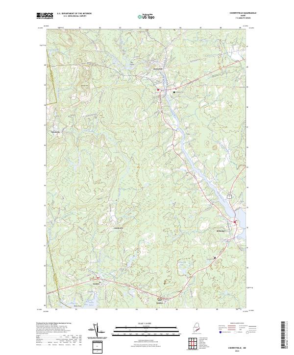
2024 Map of Cherryfield
USGS Topo · Published 2024About this map
Cherryfield serves as the focal point of this coastal Washington County landscape, situated where the West Branch Narraguagus River joins the main Narraguagus River. This river system dictates the settlement pattern, flowing south through the drainage toward Milbridge and Steuben Harbor. The interior topography is defined by features like Burke Hill and The Crotch, while the southern reaches of the map transition into the protected lands of the Petit Manan National Wildlife Refuge. Small hamlets such as Unionville and Smithville dot the inland corridors, connected by historic routes like Blacks Woods Rd and the Cherryfield Stretch. Local history is preserved in sites like Evergreen Cem, while the interaction of land and water is evident at Baker Cove and along the winding Tunk Stream.
Find a feature on this map
72 named features on this map. Tap any name to fly to it.
Don’t see what you’re looking for? This feature index may not catch every label — zoom into the map to look around manually.
Map Details
Editions of this 2024 Cherryfield Map
This is the sole edition of this map. No revisions or reprints were ever made.
Other maps of this area

1902 · Cherryfield
USGS Topo · 1:62,500

1904 · Cherryfield
USGS Topo · 1:62,500

1904 · Bar Harbor
USGS Topo · 1:62,500

1904 · Petit Manan
USGS Topo · 1:62,500

1930 · Tunk Lake
USGS Topo · 1:48,000

1932 · Tunk Lake
USGS Topo · 1:62,500

1942 · Bar Harbor
USGS Topo · 1:62,500

1942 · Cherryfield
USGS Topo · 1:62,500

1942 · Tunk Lake
USGS Topo · 1:62,500

1948 · Bangor
USGS Topo · 1:250,000