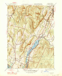
1947 Map of Cheshire
USGS Topo · Published 1947About this map
The Cheshire Reservoir anchors this 1947 topographical study of the central Berkshires, tracing the industrial and residential development of the Hoosic River valley. The Boston and Albany Railroad runs parallel to the water through the settlements of Berkshire, Farnams, and Cheshire, highlighting the era's reliance on rail for transporting goods from local operations like the Quarry near Lanesborough. To the west, the Appalachian Trail winds along the ridge past Jones Nose and Saddle Ball Mountain, marking the divide between the settled valley floors and the high elevations of the New Ashford border. Land use patterns are clearly visible, from the clustered homes in Maple Grove and Arnoldsville to the rural placement of the Stone Sch. The map provides an intricate look at the local infrastructure before modern expansion, capturing a network of secondary roads such as Scotts Williamstown Road and Rockwell Road.
Find a feature on this map
58 named features on this map. Tap any name to fly to it.
Don’t see what you’re looking for? This feature index may not catch every label — zoom into the map to look around manually.
Map Details
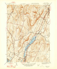
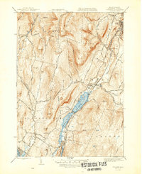
Editions of this 1947 Cheshire Map
3 editions found
Other maps of this area

1886 · Greylock
USGS Topo · 1:62,500

1886 · Becket
USGS Topo · 1:62,500

1888 · Becket
USGS Topo · 1:62,500

1888 · Berlin
USGS Topo · 1:62,500

1888 · Pittsfield
USGS Topo · 1:62,500

1890 · Pittsfield
USGS Topo · 1:62,500

1890 · Berlin
USGS Topo · 1:62,500

1891 · Greylock
USGS Topo · 1:62,500

1893 · Becket
USGS Topo · 1:62,500

1893 · Greylock
USGS Topo · 1:62,500