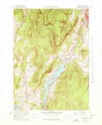
1973 Map of Cheshire
USGS Topo · Published 1978About this map
The high ridges of Mt Greylock State Reservation dominate the western half of this Berkshire County landscape, where the Appalachian Trail snakes across summits like Saddle Ball and Jones Nose. Along the valley floor, the Hoosic River system feeds the expansive Cheshire Reservoir, a central geographic feature that separates the steeper western peaks from the eastern highlands of the Stafford Hill Wildlife Management Area.
Find a feature on this map
63 named features on this map. Tap any name to fly to it.
Don’t see what you’re looking for? This feature index may not catch every label — zoom into the map to look around manually.
Map Details
Editions of this 1973 Cheshire Map
2 editions found
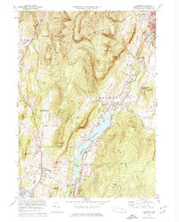
Other maps of this area

1886 · Greylock
USGS Topo · 1:62,500

1886 · Becket
USGS Topo · 1:62,500

1888 · Becket
USGS Topo · 1:62,500

1888 · Berlin
USGS Topo · 1:62,500

1888 · Pittsfield
USGS Topo · 1:62,500

1890 · Pittsfield
USGS Topo · 1:62,500

1890 · Berlin
USGS Topo · 1:62,500

1891 · Greylock
USGS Topo · 1:62,500

1893 · Becket
USGS Topo · 1:62,500

1893 · Greylock
USGS Topo · 1:62,500