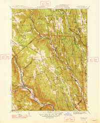
1948 Map of Chester
USGS Topo · Published 1948About this map
The West Branch Westfield River and Middle Branch Westfield River carve through the hills of Hampden and Hampshire Counties, shaping a landscape defined by its waterways and early mountain roads. In the post-war years, the town of Chester serves as a vital transit point along the Boston and Albany RR and State Highway 20, while smaller settlements like Ringville, Littleville, and South Worthington remain connected by a network of rural routes such as Ireland Street and Smith Road.
Find a feature on this map
123 named features on this map. Tap any name to fly to it.
Don’t see what you’re looking for? This feature index may not catch every label — zoom into the map to look around manually.
Map Details
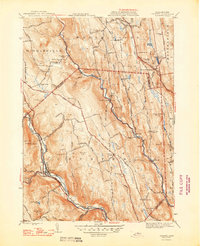
Editions of this 1948 Chester Map
2 editions found
Other maps of this area

1886 · Chesterfield
USGS Topo · 1:62,500

1886 · Becket
USGS Topo · 1:62,500

1887 · Granville
USGS Topo · 1:62,500

1888 · Becket
USGS Topo · 1:62,500

1888 · Sandisfield
USGS Topo · 1:62,500

1888 · Chesterfield
USGS Topo · 1:62,500

1889 · Granville
USGS Topo · 1:62,500

1893 · Granville
USGS Topo · 1:62,500

1893 · Chesterfield
USGS Topo · 1:62,500

1893 · Becket
USGS Topo · 1:62,500