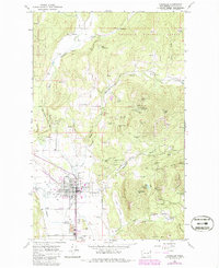
2023 Map of Chewelah
USGS Topo · Published 2023About this map
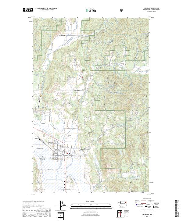
Chewelah serves as the focal point of this Stevens County landscape, situated where the Colville River flows through the fertile Colville Valley. The town's layout and its proximity to the Iron Mountains reveal a community built on the geography of the river and the surrounding high ground. Local history and genealogy are preserved at the Pioneer Cem and the Saint Mary of the Rosary Catholic Cem, while the Chewelah Memorial Park provides a central civic landmark south of the main settlement.
Find a feature on this map
96 named features on this map. Tap any name to fly to it.
Don’t see what you’re looking for? This feature index may not catch every label — zoom into the map to look around manually.
Map Details
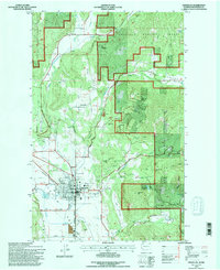
Editions of this 2023 Chewelah Map
This is the sole edition of this map. No revisions or reprints were ever made.
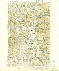
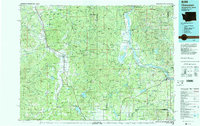
Historical Maps of Fairview Through Time
6 maps found