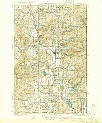
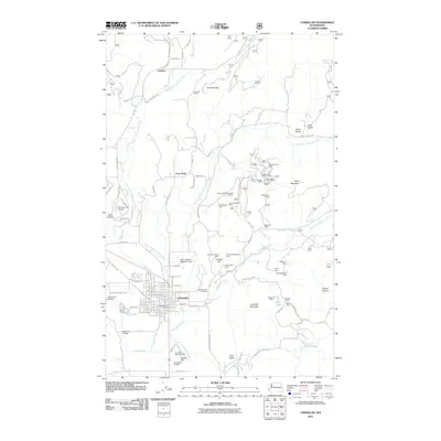
1930 Map of Chewelah
USGS Topo · Published 1941About this map
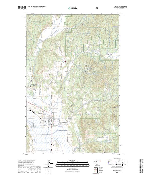
Chewelah serves as the industrial and transport hub of the Colville River valley on this survey from the 1920s. The region's economy is clearly defined by its mineral wealth, anchored by the Northwestern Magnesite Plant and a concentrated cluster of workings such as the Amazon Mine, United Copper Mine, and Quartzite Mtn Magnesite Quarry. The Great Northern railroad tracks parallel the river, connecting the settlements of Addy, Valley, and Springdale to wider markets.
Find a feature on this map
98 named features on this map. Tap any name to fly to it.
Don’t see what you’re looking for? This feature index may not catch every label — zoom into the map to look around manually.
Map Details
Editions of this 1930 Chewelah Map
2 editions found

Historical Maps of Chewelah Through Time
10 maps found

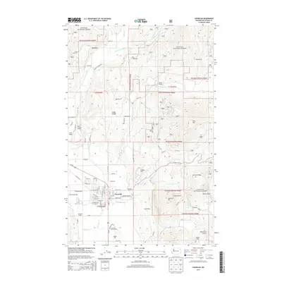
1927 Chewelah
Stevens County, WA
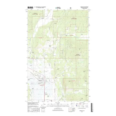
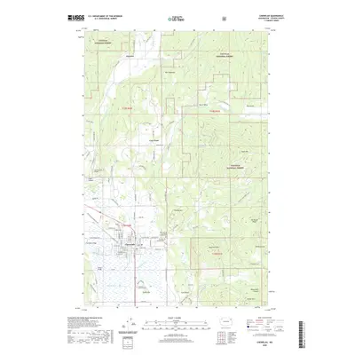
1930 Chewelah
Stevens County, WA
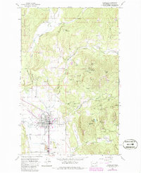
1964 Chewelah
Stevens County, WA
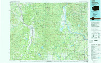
1984 Chewelah
Stevens County, WA
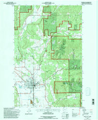
1992 Chewelah
Stevens County, WA
2011 Chewelah
Stevens County, WA
2014 Chewelah
Stevens County, WA
2017 Chewelah
Stevens County, WA
2020 Chewelah
Stevens County, WA
2023 Chewelah
Stevens County, WA