
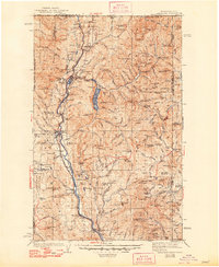
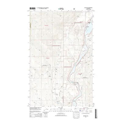
1934 Map of Metaline
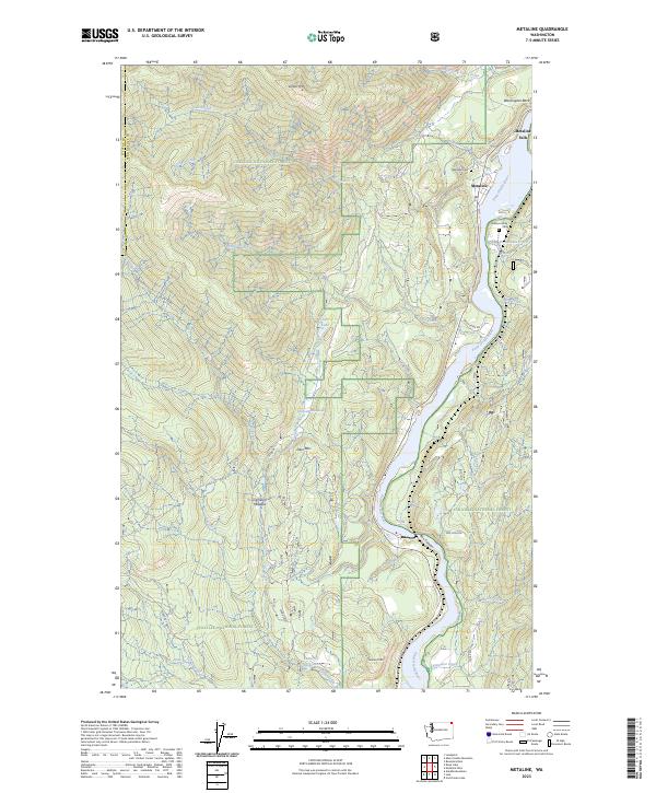
USGS Topo · Published 1959About this map
The Pend Oreille River corridor defines this northern wilderness during the early 1930s, serving as the primary artery for industry and transit. Along its banks, the Chicago Milwaukee St Paul and Pacific railroad links riverside settlements like Metaline Falls, Ione, and Tiger. The landscape is heavily marked by the mining activity of the era, particularly near Metaline, where the Josephine Mine, Pend Oreille Mine, and Bunker Hill Mine are located.
Find a feature on this map
149 named features on this map. Tap any name to fly to it.
Don’t see what you’re looking for? This feature index may not catch every label — zoom into the map to look around manually.
Map Details
Editions of this 1934 Metaline Map
This is the sole edition of this map. No revisions or reprints were ever made.
Historical Maps of Ione Through Time
9 maps found
1934 Metaline
Pend Oreille County, WA
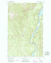
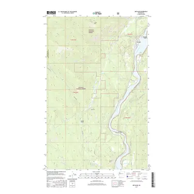
1942 Metaline
Pend Oreille County, WA
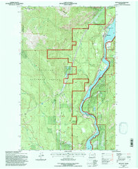
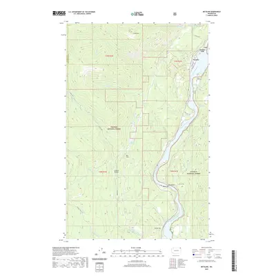
1967 Metaline
Pend Oreille County, WA
1992 Metaline
Pend Oreille County, WA
2011 Metaline
Pend Oreille County, WA
2014 Metaline
Pend Oreille County, WA
2017 Metaline
Pend Oreille County, WA
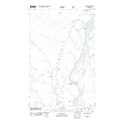
2020 Metaline
Pend Oreille County, WA
2023 Metaline
Pend Oreille County, WA