
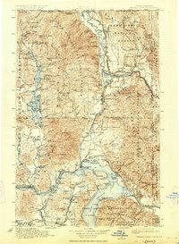
1913 Map of Priest Lake
USGS Topo · Published 1913About this map
The Sandpoint rail hub and the wild northern Panhandle are documented here before the mid-century expansion of modern highways. This region was defined by its extractive industry and rail connectivity, with the Great Northern, Northern Pacific, and Spokane International railroads carving routes through the mountains. Industry is marked by several notable extraction sites including the Continental Mine near the Canadian border and the Mountain Chief Mine further south.
Find a feature on this map
233 named features on this map. Tap any name to fly to it.
Don’t see what you’re looking for? This feature index may not catch every label — zoom into the map to look around manually.
Map Details
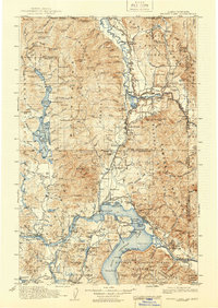
Editions of this 1913 Priest Lake Map
3 editions found
Other maps of this area

1901 · Sandpoint
USGS Topo · 1:125,000

1901 · Spokane
USGS Topo · 1:125,000

1903 · Rathdrum
USGS Topo · 1:125,000

1909 · Cataldo
USGS Topo · 1:125,000

1911 · Cataldo
USGS Topo · 1:125,000

1911 · Priest Lake
USGS Topo · 1:250,000

1911 · Sandpoint
USGS Topo · 1:125,000

1920 · Libby
USGS Topo · 1:125,000

1930 · Libby
USGS Topo · 1:125,000

1932 · Libby
USGS Topo · 1:125,000