
1901 Map of Sandpoint
USGS Topo · Published 1901About this map
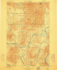
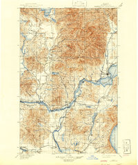
Pend Oreille Lake dominates the eastern landscape of this Northern Idaho region, where the Great Northern and Northern Pacific railroads began to shape early settlement patterns. This 1901 survey documents the area before modern bridges, when river travel relied on the Hamill Ferry, Markham Ferry, and Baldwin Ferry to cross the Great Northern Clark Fork. The rugged topography of the Cabinet Mountains and the Priest River Forest Reserve hem in small villages like Laclede, Algoma, and Seneaquoteen. From the southern Hoodoo Valley up to Coolin at the base of Priest Lake, the map traces the intersection of glacial water bodies and the early transport network that defined Kootenai County at the dawn of the twentieth century.
Find a feature on this map
75 named features on this map. Tap any name to fly to it.
Don’t see what you’re looking for? This feature index may not catch every label — zoom into the map to look around manually.
Map Details
Editions of this 1901 Sandpoint Map
3 editions found
Other maps of this area

1901 · Spokane
USGS Topo · 1:125,000

1903 · Rathdrum
USGS Topo · 1:125,000

1909 · Cataldo
USGS Topo · 1:125,000

1911 · Cataldo
USGS Topo · 1:125,000

1911 · Priest Lake
USGS Topo · 1:250,000

1911 · Sandpoint
USGS Topo · 1:125,000

1913 · Priest Lake
USGS Topo · 1:250,000

1934 · Metaline
USGS Topo · 1:125,000

1936 · Newport
USGS Topo · 1:96,000

1942 · Metaline
USGS Topo · 1:125,000