
1942 Map of Metaline
USGS Topo · Published 1942About this map
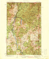
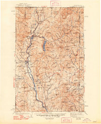
Bunker Hill Mines and a dense network of mining operations define the industrial landscape of the northern Pend Oreille River valley during the 1930s. The region is centered on the established settlements of Metaline Falls and Metaline, where the Quarry and Pend Oreille Mine illustrate the extraction-based economy of the era. Transportation is dominated by the Chicago Milwaukee St Paul and Pacific RR following the riverbanks, providing a vital link for the isolated mountain communities. Higher in the Selkirk range, family-named landmarks and ranger stations like Hanlon Guard Sta appear alongside backcountry camps such as Panhandle Camp. Rural life is marked by local landmarks like Lincoln Sch and Forest Home Sch, while the expansive Sullivan Lake and Pewee Falls highlight the untamed waters of the northeastern corner of Washington before significant post-war modernization.
Find a feature on this map
103 named features on this map. Tap any name to fly to it.
Don’t see what you’re looking for? This feature index may not catch every label — zoom into the map to look around manually.
Map Details
Editions of this 1942 Metaline Map
3 editions found
Other maps of this area

1901 · Sandpoint
USGS Topo · 1:125,000

1911 · Priest Lake
USGS Topo · 1:250,000

1911 · Sandpoint
USGS Topo · 1:125,000

1913 · Priest Lake
USGS Topo · 1:250,000

1927 · Chewelah
USGS Topo · 1:125,000

1929 · Colville
USGS Topo · 1:125,000

1930 · Chewelah
USGS Topo · 1:125,000

1933 · Colville
USGS Topo · 1:125,000

1934 · Metaline
USGS Topo · 1:125,000

1936 · Newport
USGS Topo · 1:96,000