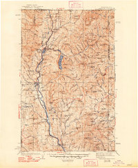
1942 Map of Metaline
USGS Topo · Published 1948About this map
Metaline Falls and the surrounding mining districts define the character of this northern Panhandle landscape during the late 1930s. The map illustrates a region driven by lead and zinc extraction, prominently featuring the Bunker Hill Mines, Josephine Mine, and Oriole Mine. Connectivity is provided by the Chicago Milwaukee St. Paul and Pacific RR and State Route 20, which follow the Pend Oreille River valley.
Find a feature on this map
157 named features on this map. Tap any name to fly to it.
Don’t see what you’re looking for? This feature index may not catch every label — zoom into the map to look around manually.
Map Details
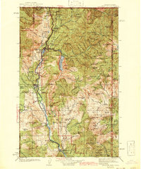
Editions of this 1942 Metaline Map
3 editions found

Other maps of this area

1901 · Sandpoint
USGS Topo · 1:125,000

1911 · Priest Lake
USGS Topo · 1:250,000

1911 · Sandpoint
USGS Topo · 1:125,000

1913 · Priest Lake
USGS Topo · 1:250,000

1927 · Chewelah
USGS Topo · 1:125,000

1929 · Colville
USGS Topo · 1:125,000

1930 · Chewelah
USGS Topo · 1:125,000

1933 · Colville
USGS Topo · 1:125,000

1934 · Metaline
USGS Topo · 1:125,000

1936 · Newport
USGS Topo · 1:96,000