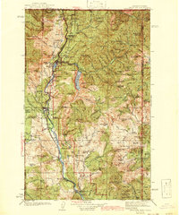
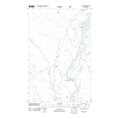
1942 Map of Metaline
USGS Topo · Published 1942About this map
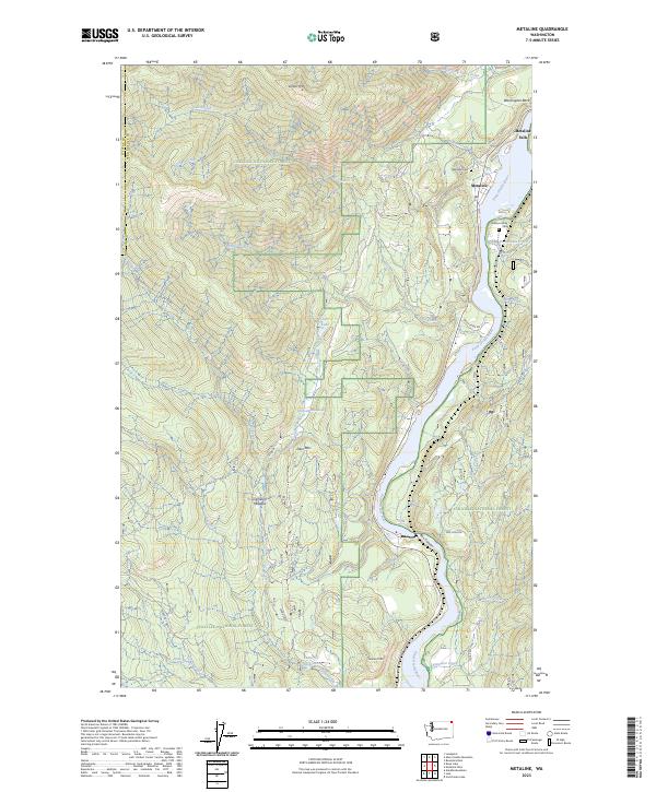
The Pend Oreille River flows northward through this mountainous landscape of northeastern Washington, serving as the industrial and transportation corridor for the region during the 1930s and early 1940s. The Chicago Milwaukee St Paul and Pacific railroad tracks follow the river's edge, connecting the settlements of Ione, Metaline, and Metaline Falls. This era was defined by intensive extraction, visible through the cluster of operations like the Pend Oreille Mine, Josephine Mine, and Bunker Hill Mines near the Canadian border. Beyond the river valley, the terrain is dotted with high peaks such as Gypsy Pk and Shedroof Mtn, alongside isolated landmarks like Diamond City and the Sweet Creek Ranch. Local educational history is anchored by the Lincoln Sch and Forest Home Sch, providing vital touchpoints for genealogists researching family roots in this mining and timber country.
Find a feature on this map
111 named features on this map. Tap any name to fly to it.
Don’t see what you’re looking for? This feature index may not catch every label — zoom into the map to look around manually.
Map Details
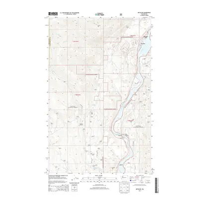
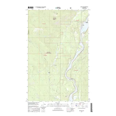
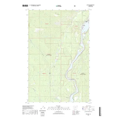
Editions of this 1942 Metaline Map
3 editions found

Historical Maps of Ione Through Time
9 maps found

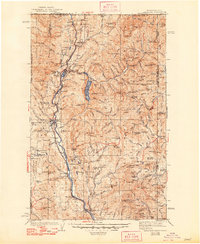
1934 Metaline
Pend Oreille County, WA
1942 Metaline
Pend Oreille County, WA
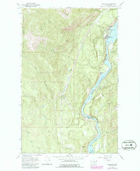
1967 Metaline
Pend Oreille County, WA
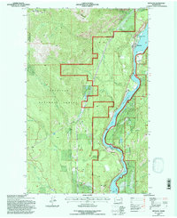
1992 Metaline
Pend Oreille County, WA
2011 Metaline
Pend Oreille County, WA
2014 Metaline
Pend Oreille County, WA
2017 Metaline
Pend Oreille County, WA
2020 Metaline
Pend Oreille County, WA
2023 Metaline
Pend Oreille County, WA