Loading...
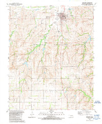
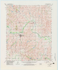
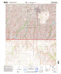
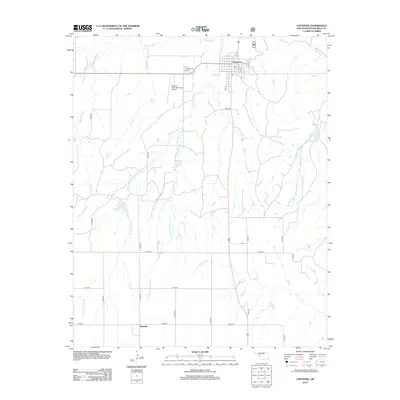
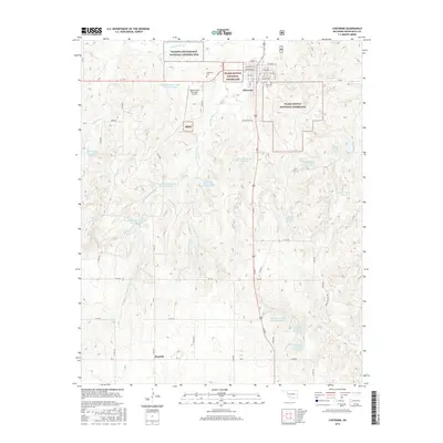
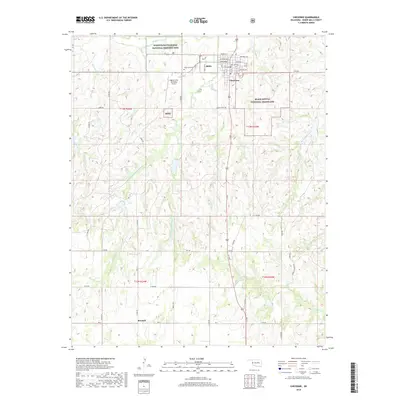
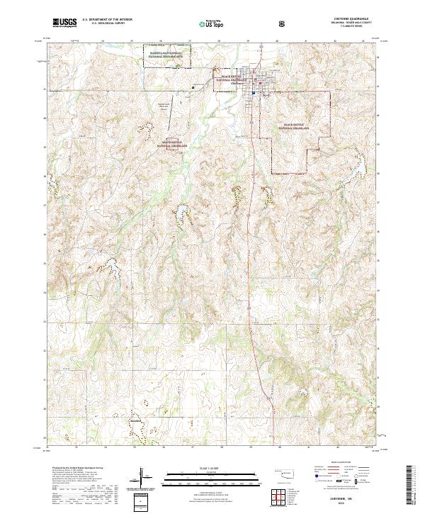
Loading map...1989 Map of Cheyenne
USGS Topo · Published 1989About this map
The town of Cheyenne serves as the focal point of this western Oklahoma landscape, situated just south of the Washita River. As the county seat of Roger Mills, the town site includes vital civic infrastructure such as the Courthouse, Post Office, and the Cheyenne Cemetery. The surrounding terrain is characterized by the expansive Black Kettle National Grassland, where numerous watercourses including Sergeant Major Creek and Brokenleg Creek cut through the plains.
Find a feature on this map
29 named features on this map. Tap any name to fly to it.
Don’t see what you’re looking for? This feature index may not catch every label — zoom into the map to look around manually.
Map Details
Date Portrayed1989
Date Published1989
PublisherU.S. Geological Survey
Map TypeTopographic
Scale1:24,000
Physical Dimensions22.5 x 27.3 inches
Editions of this 1989 Cheyenne Map
This is the sole edition of this map. No revisions or reprints were ever made.
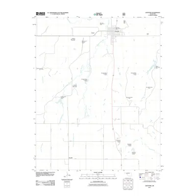
Historical Maps of Cheyenne Through Time
8 maps found
Featured Locations
Source Details
SourceU.S. Geological Survey
CopyrightPublic Domain