Loading...
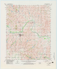
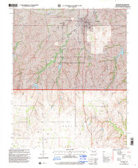
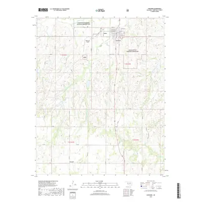
Loading map...1960 Map of Cheyenne
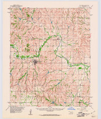
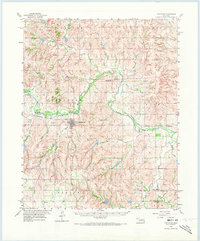
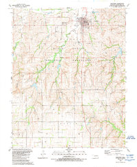
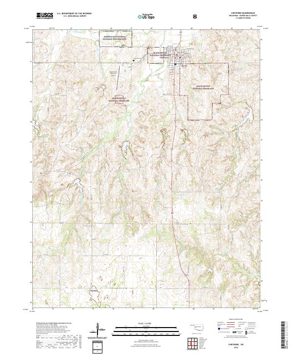
USGS Topo · Published 1983About this map
The Washita River carves a central path through this western Oklahoma landscape, serving as the primary corridor for both water and transportation. Along its northern banks, the Santa Fe and Panhandle railroad links the settlements of Strong City and Cheyenne, illustrating the importance of rail access to these prairie communities during the mid-20th century. The town of Cheyenne appears as a developed hub, featuring a Landing Field, Sewage Disposal facilities, and a Gaging Station on the river.
Find a feature on this map
28 named features on this map. Tap any name to fly to it.
Don’t see what you’re looking for? This feature index may not catch every label — zoom into the map to look around manually.
Map Details
Date Portrayed1960
Date Published1983
PublisherU.S. Geological Survey
Map TypeTopographic
Scale1:62,500
Physical Dimensions18.5 x 22.3 inches
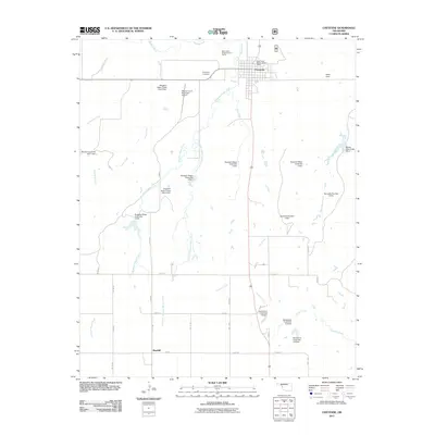
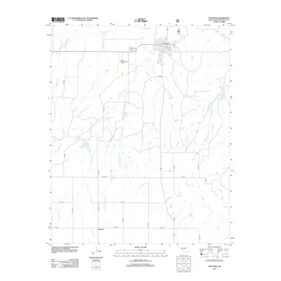
Editions of this 1960 Cheyenne Map
3 editions found
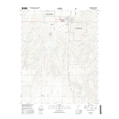
Historical Maps of Cheyenne Through Time
8 maps found
Featured Locations
Source Details
SourceU.S. Geological Survey
CopyrightPublic Domain