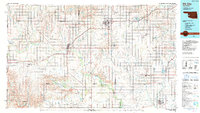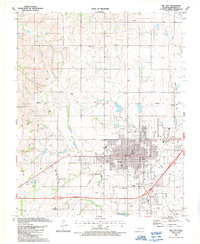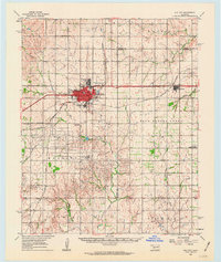
1961 Map of Elk City
USGS Topo · Published 1963About this map
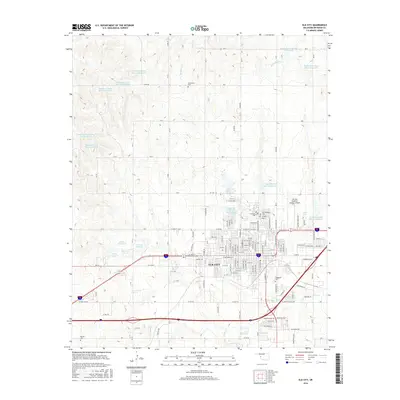
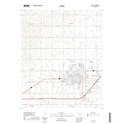
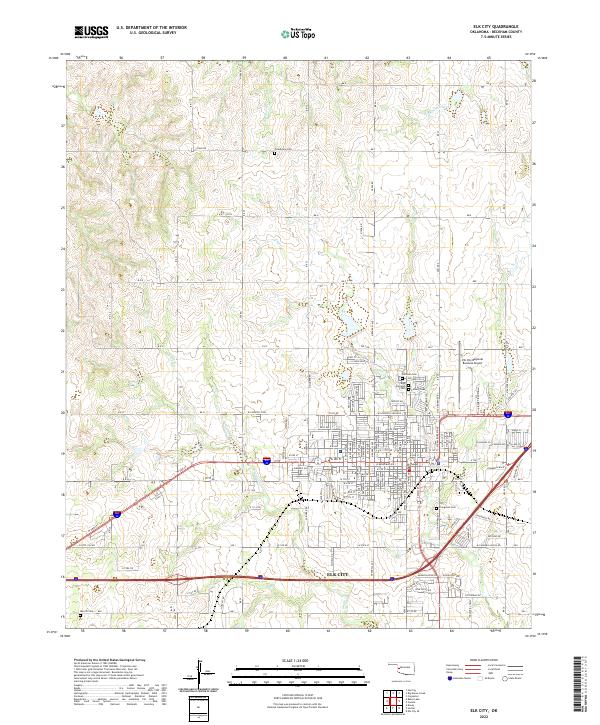
Elk City serves as the focal point of this Beckham County landscape, positioned at a critical intersection of mid-century transportation and industry. The city's growth is evidenced by the detailed street grid and significant infrastructure like the Elk City Municipal Airport, an Oil Refinery, and Ackley Park. Running directly through the heart of the settlement is U. S. 66, the iconic highway that shaped the American West, accompanied by the Chicago Rock Island and Pacific railroad.
Find a feature on this map
39 named features on this map. Tap any name to fly to it.
Don’t see what you’re looking for? This feature index may not catch every label — zoom into the map to look around manually.
Map Details
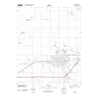
Editions of this 1961 Elk City Map
This is the sole edition of this map. No revisions or reprints were ever made.
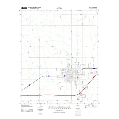
Historical Maps of Elk City Through Time
8 maps found