
1960 Map of Cheyenne
USGS Topo · Published 1961About this map
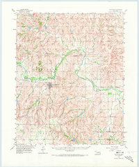
The Washita River winds through the heart of Roger Mills County, anchoring a landscape shaped by the Panhandle and Santa Fe railroad and a network of agricultural settlements. During this 1960 field check, the town of Cheyenne serves as a central hub, supported by smaller locales like Strong City to the north and the rural community at Berlin to the south. The mapping of the Panhandle and Santa Fe line illustrates the importance of rail transit to the Western Oklahoma economy of the mid-twentieth century.
Find a feature on this map
25 named features on this map. Tap any name to fly to it.
Don’t see what you’re looking for? This feature index may not catch every label — zoom into the map to look around manually.
Map Details
Editions of this 1960 Cheyenne Map
3 editions found
Other maps of this area

1955 · Clinton
USGS Topo · 1:250,000

1957 · Clinton
USGS Topo · 1:250,000

1960 · Sweetwater
USGS Topo · 1:62,500

1960 · Sayre
USGS Topo · 1:62,500

1960 · Hammon
USGS Topo · 1:62,500

1961 · Reydon
USGS Topo · 1:62,500

1961 · Elk City
USGS Topo · 1:62,500

1961 · Leedey
USGS Topo · 1:62,500

1965 · Crawford
USGS Topo · 1:24,000

1966 · Roll
USGS Topo · 1:24,000