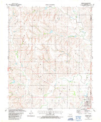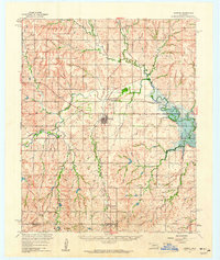
1960 Map of Hammon
USGS Topo · Published 1961About this map
Hammon serves as the central hub of this Western Oklahoma landscape at the start of the 1960s, situated at a junction of significant transportation and water networks. The Washita River meanders across the center of the sheet, feeding into the expansive Foss Reservoir to the east. This era shows the convergence of the Missouri Kansas Texas and Panhandle and Santa Fe railroads, illustrating the area's importance as a rail corridor during the mid-century. Beyond the primary town, smaller communities like Moorewood and Carpenter dot the landscape, while family and local history is anchored by sites such as Hammon Cem and Red Hill Cem. The terrain is deeply carved by numerous drainages, including Quartermaster Creek and Hines Creek, which define the agricultural and ranching layout of the region.
Find a feature on this map
25 named features on this map. Tap any name to fly to it.
Don’t see what you’re looking for? This feature index may not catch every label — zoom into the map to look around manually.
Map Details
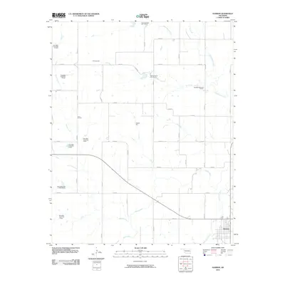
Editions of this 1960 Hammon Map
This is the sole edition of this map. No revisions or reprints were ever made.
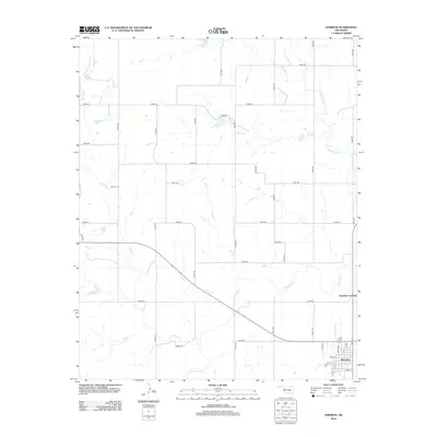
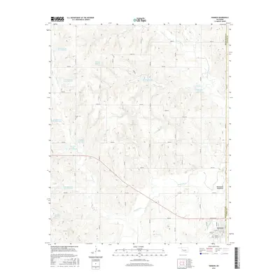
Historical Maps of Hammon Junction Through Time
7 maps found