
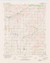
1957 Map of Dill City
USGS Topo · Published 1958About this map
Clinton-Sherman Air Force Base occupies a significant portion of this mid-century Western Oklahoma landscape, positioned west of Burns Flat. The infrastructure of the base, including the Air Force Reservation, reflects the strategic military footprint in Washita County during the late 1950s. The surrounding rural area is characterized by a dense network of country cemeteries and small settlements connected by the Chicago Rock Island and Pacific and Atchison Topeka and Santa Fe railroads. Numerous small stream systems like Turkey Creek and Boggy Creek drain the terrain toward Cordell Lake and the Washita River. Local history is preserved through the locations of rural schoolhouses, including the St Francis Sch and several abandoned sites such as Center Point Sch, marking a period of transition in the local education system and rural population centers like Foss and Dill City.
Find a feature on this map
48 named features on this map. Tap any name to fly to it.
Don’t see what you’re looking for? This feature index may not catch every label — zoom into the map to look around manually.
Map Details
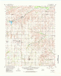
Editions of this 1957 Dill City Map
3 editions found
Other maps of this area

1955 · Clinton
USGS Topo · 1:250,000

1956 · Cordell
USGS Topo · 1:62,500

1957 · Clinton
USGS Topo · 1:250,000

1957 · Butler
USGS Topo · 1:62,500

1957 · Clinton
USGS Topo · 1:62,500

1960 · Hammon
USGS Topo · 1:62,500

1961 · Gotebo
USGS Topo · 1:62,500

1961 · Hobart
USGS Topo · 1:62,500

1961 · Retrop
USGS Topo · 1:62,500

1961 · Elk City
USGS Topo · 1:62,500