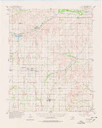
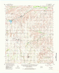
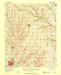
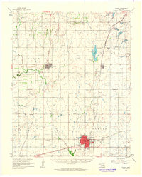
1957 Map of Dill City
USGS Topo · Published 1978About this map
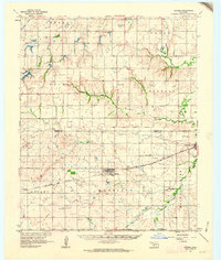
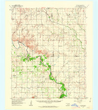
Clinton-Sherman Air Force Base dominates the western landscape of Washita County in this mid-century survey, its expansive runways and military structures situated near Burns Flat. The region's agricultural and rural character is defined by a dense network of family and community landmarks, including the Lutheran Cem, Sod Cem, and Dugford Cem. Transport and commerce follow the paths of the Chicago Rock Island and Pacific and the Atchison Topeka and Santa Fe railroads, which connect established settlements like Foss and Dill City.
Find a feature on this map
59 named features on this map. Tap any name to fly to it.
Don’t see what you’re looking for? This feature index may not catch every label — zoom into the map to look around manually.
Map Details
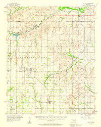
Editions of this 1957 Dill City Map
3 editions found
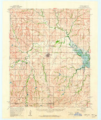
Other maps of this area

1955 · Clinton
USGS Topo · 1:250,000
1956 · Cordell
USGS Topo · 1:62,500

1957 · Clinton
USGS Topo · 1:250,000
1957 · Butler
USGS Topo · 1:62,500
1957 · Clinton
USGS Topo · 1:62,500
1957 · Dill City
USGS Topo · 1:62,500
1960 · Hammon
USGS Topo · 1:62,500
1961 · Gotebo
USGS Topo · 1:62,500
1961 · Hobart
USGS Topo · 1:62,500
1961 · Retrop
USGS Topo · 1:62,500