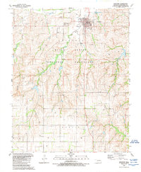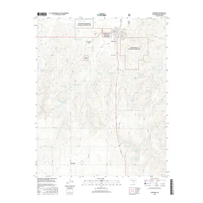
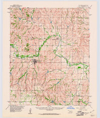
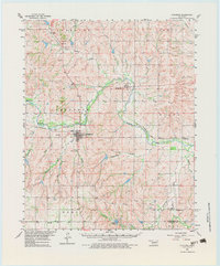
1960 Map of Cheyenne
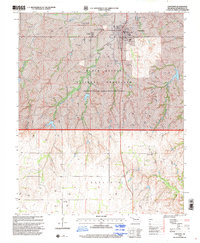
USGS Topo · Published 1973About this map
The Washita River winds through the heart of Roger Mills County in this 1960 survey, a landscape defined by its deep creek systems and rural development. The county seat of Cheyenne sits as the primary hub, surrounded by smaller settlements like Strong City, Herring, and Rosehill. This era shows the local infrastructure of the Panhandle and Santa Fe and Atchison Topeka and Santa Fe railroads which followed the river valley, supporting the agricultural economy of western Oklahoma. Notable community landmarks include the Sandstone Sch and a local Landing Field near Cheyenne. The map reveals a highly articulated drainage network featuring Dead Indian Creek, Beaverdam Creek, and Wildcat Creek, alongside modern additions like Taylor Lake.
Find a feature on this map
31 named features on this map. Tap any name to fly to it.
Don’t see what you’re looking for? This feature index may not catch every label — zoom into the map to look around manually.
Map Details
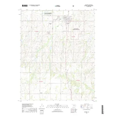
Editions of this 1960 Cheyenne Map
3 editions found
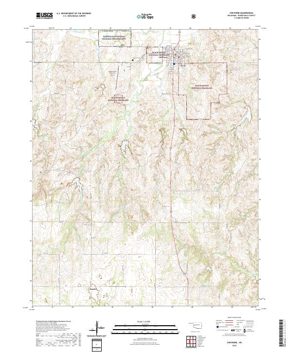
Historical Maps of Cheyenne Through Time
8 maps found