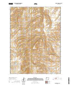
2020 Map of Chicken Spring
USGS Topo · Published 2020About this map
The Trout Creek Mountains dominate this high-desert landscape in southeastern Oregon, where the county line between Harney and Malheur counties cuts through a series of complex drainages. This region is characterized by a sophisticated network of water management, evidenced by numerous named catchments such as South Willow Reservoir, Rough Hole Reservoir, and the distinctively named Funny Face Reservoir. These water sources are vital for the arid terrain, supporting local ranching and land use across the t40s r38e and t40s r39e townships.
Find a feature on this map
32 named features on this map. Tap any name to fly to it.
Don’t see what you’re looking for? This feature index may not catch every label — zoom into the map to look around manually.
Map Details
Editions of this 2020 Chicken Spring Map
This is the sole edition of this map. No revisions or reprints were ever made.
Other maps of this area

1886 · Disaster
USGS Topo · 1:250,000

1893 · Disaster
USGS Topo · 1:250,000

1954 · Vya
USGS Topo · 1:250,000

1955 · Adel
USGS Topo · 1:250,000

1957 · Adel
USGS Topo · 1:250,000

1958 · Vya
USGS Topo · 1:250,000

1958 · Adel
USGS Topo · 1:250,000

1961 · Trident Peak
USGS Topo · 1:62,500

1961 · Disaster Peak
USGS Topo · 1:62,500

1962 · Vya
USGS Topo · 1:250,000