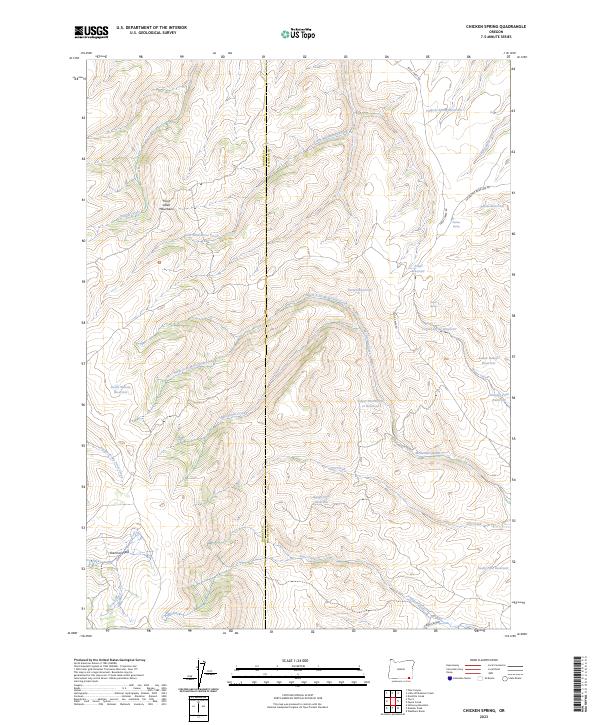
2023 Map of Chicken Spring
USGS Topo · Published 2023About this map
The Trout Creek Mountains dominate this high-desert landscape on the border of Harney and Malheur counties. A complex network of drainages defines the area, with McDermitt Creek and its various branches, including the North Fork McDermitt Creek, carving through the high plateau. The reliance on managed water in this arid environment is evident from the concentration of named catchments such as Tadpole Spring Reservoir, Disaster Peak Reservoir, and Funny Face Reservoir.
Find a feature on this map
34 named features on this map. Tap any name to fly to it.
Don’t see what you’re looking for? This feature index may not catch every label — zoom into the map to look around manually.
Map Details
Editions of this 2023 Chicken Spring Map
This is the sole edition of this map. No revisions or reprints were ever made.
Other maps of this area

1886 · Disaster
USGS Topo · 1:250,000

1893 · Disaster
USGS Topo · 1:250,000

1954 · Vya
USGS Topo · 1:250,000

1955 · Adel
USGS Topo · 1:250,000

1957 · Adel
USGS Topo · 1:250,000

1958 · Vya
USGS Topo · 1:250,000

1958 · Adel
USGS Topo · 1:250,000

1961 · Trident Peak
USGS Topo · 1:62,500

1961 · Disaster Peak
USGS Topo · 1:62,500

1962 · Vya
USGS Topo · 1:250,000