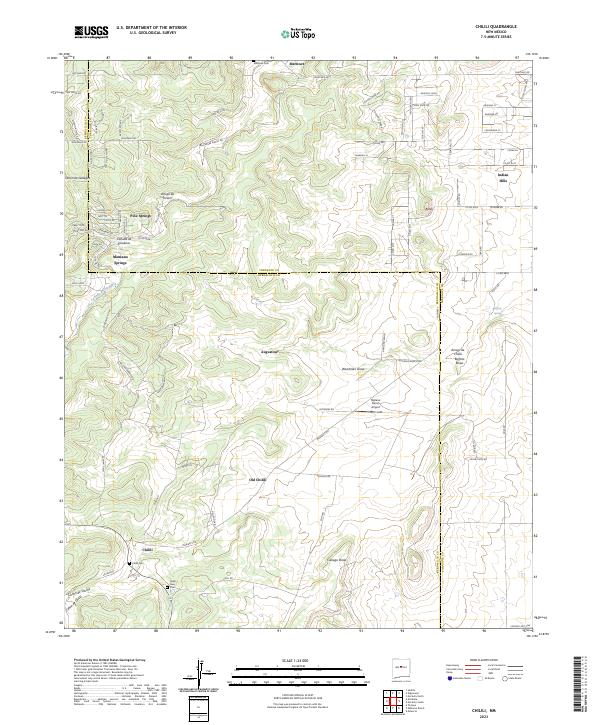
2023 Map of Chilili
USGS Topo · Published 2023About this map
Chilili and its historical predecessor Old Chilili anchor this region along the border of Bernalillo and Torrance Counties. The landscape is defined by a series of drainage systems including Arroyo de Chilili and Cienega Draw, which have historically influenced the placement of small ranching and farming settlements. Evidence of the area's long-term inhabitancy is found in the multiple burial grounds serving the community, such as Chilili Cem, Chilili New Cem, and the northern Martínez Cem.
Find a feature on this map
95 named features on this map. Tap any name to fly to it.
Don’t see what you’re looking for? This feature index may not catch every label — zoom into the map to look around manually.
Map Details
Editions of this 2023 Chilili Map
This is the sole edition of this map. No revisions or reprints were ever made.
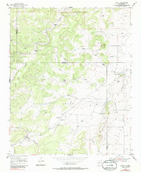
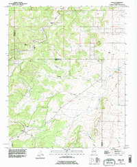
Historical Maps of Augustine Through Time
3 maps found