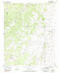
1954 Map of Chilili
USGS Topo · Published 1986About this map
Chilili Grant lands define this territory on the eastern slopes of the Manzano Mountains during the mid-1950s. The settlement pattern is characterized by scattered family homesteads and ranches, many established along the deep drainage of the Canon de Chilili. The village of Chilili and nearby Old Chilili serve as the primary anchors for a landscape where water is the most precious resource, evidenced by the numerous Windmill sites and Cibola Springs dotting the terrain. Numerous family names are preserved on the land, including the Danvik Place, Ballinger Ranch, and Thompson Place. The map captures the transition between Bernalillo Co and Torrance Co, showing a network of unimproved roads and trails connecting these remote outposts across the high arroyos and canyons like Canon de Sayuna.
Find a feature on this map
26 named features on this map. Tap any name to fly to it.
Don’t see what you’re looking for? This feature index may not catch every label — zoom into the map to look around manually.
Map Details
Editions of this 1954 Chilili Map
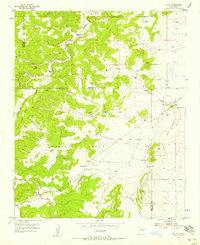
Other maps of this area

1892 · San Pedro
USGS Topo · 1:125,000

1917 · Estancia
USGS Topo · 1:125,000

1954 · Chilili
USGS Topo · 1:24,000

1954 · Sedillo
USGS Topo · 1:24,000

1954 · Tajique
USGS Topo · 1:24,000

1954 · Escabosa
USGS Topo · 1:24,000

1954 · Edgewood
USGS Topo · 1:24,000

1954 · Milbourn Ranch
USGS Topo · 1:24,000

1954 · Socorro
USGS Topo · 1:250,000

1956 · Edgewood
USGS Topo · 1:62,500