
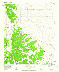
1954 Map of Edgewood
USGS Topo · Published 1955About this map
Family ranches and historical transport corridors define this mid-century landscape where Bernalillo, Santa Fe, and Torrance counties meet. The settlement of Edgewood serves as a central point, surrounded by numerous named holdings including Bassett Ranch, Hill Ranch, and the Bella Vista Ranch. These homesteads are situated across a varied terrain of high ridges and deep drainages like Tomas Juan Canyon and Bachelor Draw.
Find a feature on this map
34 named features on this map. Tap any name to fly to it.
Don’t see what you’re looking for? This feature index may not catch every label — zoom into the map to look around manually.
Map Details
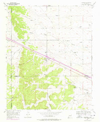
Editions of this 1954 Edgewood Map
3 editions found
Other maps of this area

1892 · San Pedro
USGS Topo · 1:125,000

1917 · Estancia
USGS Topo · 1:125,000

1954 · Chilili
USGS Topo · 1:24,000

1954 · Sandia Park
USGS Topo · 1:24,000

1954 · San Pedro
USGS Topo · 1:24,000

1954 · Sedillo
USGS Topo · 1:24,000

1954 · Escabosa
USGS Topo · 1:24,000

1954 · Socorro
USGS Topo · 1:250,000

1956 · Edgewood
USGS Topo · 1:62,500

1956 · Estancia
USGS Topo · 1:62,500