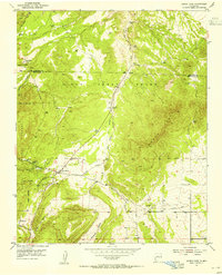
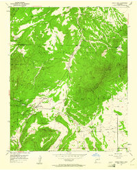
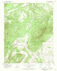
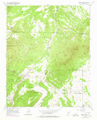
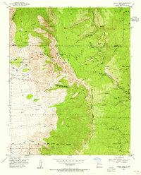
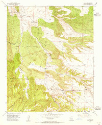
1954 Map of Sandia Park
USGS Topo · Published 1955About this map
The Pa-ako Ruins and nearby Smelter Ruins anchor this mid-century portrait of a high-altitude New Mexico landscape, where ancient habitation meets industrial residue. Situated at the junction of the San Pedro Grant and the Cibola National Forest, the terrain is defined by the massive ridge of Monte Largo and the drainage of San Pedro Creek. Small settlements like San Antonio and La Madera are connected by winding mountain roads, while the La Madera Cemetery provides a specific point of reference for local family history. Evidence of past transportation is visible along an Old Railroad Grade that follows the creek valley, tracing a route through a landscape dotted with seasonal springs like Cottonwood Spring and Rock Spring. This survey records a moment when the rural character of the Sandia Mountains remained primary, with only scattered developments like Sandia Park beginning to take shape.
Find a feature on this map
27 named features on this map. Tap any name to fly to it.
Don’t see what you’re looking for? This feature index may not catch every label — zoom into the map to look around manually.
Map Details
Editions of this 1954 Sandia Park Map
4 editions found
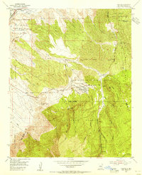
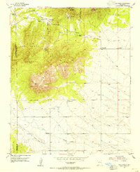
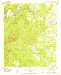
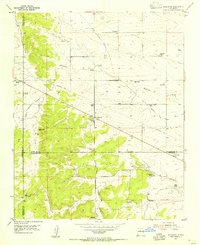
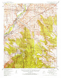
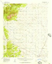
Other maps of this area

1892 · San Pedro
USGS Topo · 1:125,000
1954 · Sandia Crest
USGS Topo · 1:24,000
1954 · Placitas
USGS Topo · 1:24,000
1954 · San Pedro
USGS Topo · 1:24,000

1954 · Tijeras
USGS Topo · 1:24,000
1954 · Sedillo
USGS Topo · 1:24,000
1954 · Hagan
USGS Topo · 1:24,000
1954 · Edgewood
USGS Topo · 1:24,000
1954 · San Felipe Pueblo
USGS Topo · 1:62,500
1956 · Edgewood
USGS Topo · 1:62,500