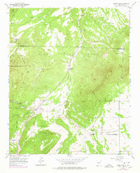
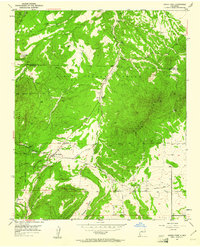
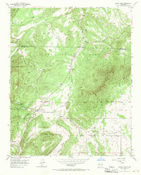
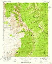
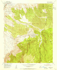
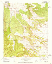
1954 Map of Sandia Park
USGS Topo · Published 1978About this map
The mountain village of Sandia Park stands as a central point in this mid-century New Mexico landscape, mapped through aerial photography in the early 1950s with updates reflecting changes through the mid-1970s. The terrain transitions between the higher elevations of the national forest and the smaller settlement of La Madera to the northwest. This survey provides a precise view of the local infrastructure during a period of transition for Bernalillo County, showing the roads and land divisions that shaped these high-altitude communities. The topographic detail captures the drainage patterns and land contours that dictated early settlement placement in the Sandia Mountains before modern suburban expansion began to significantly alter the area.
Find a feature on this map
2 named features on this map. Tap any name to fly to it.
Don’t see what you’re looking for? This feature index may not catch every label — zoom into the map to look around manually.
Map Details
Editions of this 1954 Sandia Park Map
4 editions found
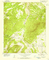
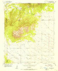
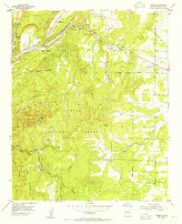
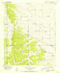
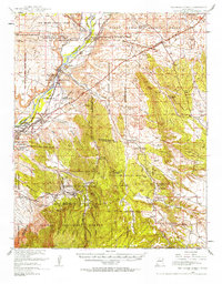
Other maps of this area

1892 · San Pedro
USGS Topo · 1:125,000
1954 · Sandia Crest
USGS Topo · 1:24,000
1954 · Placitas
USGS Topo · 1:24,000
1954 · Sandia Park
USGS Topo · 1:24,000
1954 · San Pedro
USGS Topo · 1:24,000

1954 · Tijeras
USGS Topo · 1:24,000
1954 · Sedillo
USGS Topo · 1:24,000
1954 · Hagan
USGS Topo · 1:24,000
1954 · Edgewood
USGS Topo · 1:24,000
1954 · San Felipe Pueblo
USGS Topo · 1:62,500