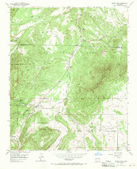
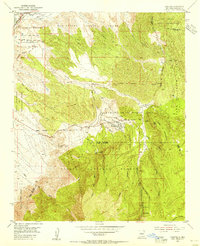
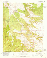
1954 Map of Sandia Park
USGS Topo · Published 1970About this map
San Pedro Grant and the eastern slopes of the Sandia Mountains define this mid-century landscape where high-desert archaeology meets rural settlement. The map documents significant historical sites including the Pa-ako Ruins and San Pedro Ruins situated along the drainage of San Pedro Creek. Small mountain communities like San Antonio, Sandia Park, and La Madera are clustered near the western edge of the quadrangle, with La Madera Cemetery serving as a local genealogical landmark. Traces of past infrastructure are visible through the Old Railroad Grade traversing the southeastern terrain, while the extensive Cibola National Forest boundary marks the transition into protected mountain lands. Numerous seasonal watercourses such as Arroyo Armijo and Frost Arroyo dissect the canyons, reflecting the traditional land divisions and drainage patterns of the region.
Find a feature on this map
24 named features on this map. Tap any name to fly to it.
Don’t see what you’re looking for? This feature index may not catch every label — zoom into the map to look around manually.
Map Details
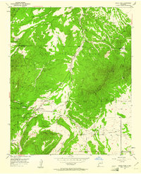
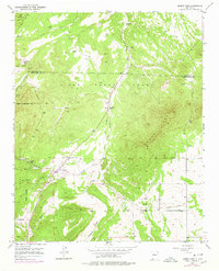
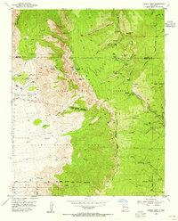
Editions of this 1954 Sandia Park Map
4 editions found
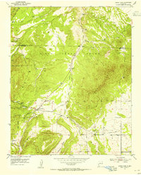
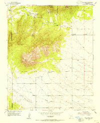
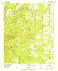
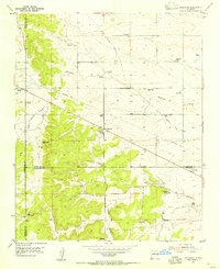
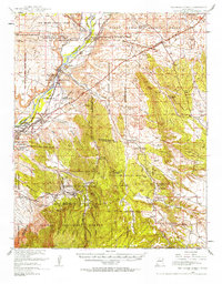
Other maps of this area

1892 · San Pedro
USGS Topo · 1:125,000
1954 · Sandia Crest
USGS Topo · 1:24,000
1954 · Placitas
USGS Topo · 1:24,000
1954 · Sandia Park
USGS Topo · 1:24,000
1954 · San Pedro
USGS Topo · 1:24,000

1954 · Tijeras
USGS Topo · 1:24,000
1954 · Sedillo
USGS Topo · 1:24,000
1954 · Hagan
USGS Topo · 1:24,000
1954 · Edgewood
USGS Topo · 1:24,000
1954 · San Felipe Pueblo
USGS Topo · 1:62,500