
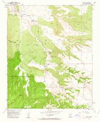
1954 Map of Hagan
USGS Topo · Published 1955About this map
Hagan (Ghost Town) and Tejon (Ghost Town) anchor this mid-century survey of the high desert between the San Felipe Indian Reservation and the northern slopes of the Sandia Mountains. The landscape is a complex network of arroyos, including Arroyo Tonque and Arroyo Coyote, which cut through the Town of Tejon Grant. The transition from active mining to a quiet desert landscape is evident in the markings for an Old Railroad Grade and several Coal Mines (Aband) near Coyote.
Find a feature on this map
38 named features on this map. Tap any name to fly to it.
Don’t see what you’re looking for? This feature index may not catch every label — zoom into the map to look around manually.
Map Details
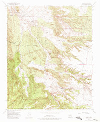
Editions of this 1954 Hagan Map
Other maps of this area

1892 · San Pedro
USGS Topo · 1:125,000

1954 · Sandia Crest
USGS Topo · 1:24,000

1954 · San Felipe Pueblo
USGS Topo · 1:24,000

1954 · Placitas
USGS Topo · 1:24,000

1954 · Sandia Park
USGS Topo · 1:24,000

1954 · San Pedro
USGS Topo · 1:24,000

1954 · San Felipe Pueblo NE
USGS Topo · 1:24,000

1954 · San Felipe Pueblo
USGS Topo · 1:62,500

1956 · Edgewood
USGS Topo · 1:62,500

1958 · Albuquerque
USGS Topo · 1:250,000