
1954 Map of San Felipe Pueblo NE
USGS Topo · Published 1955About this map
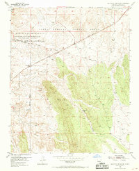
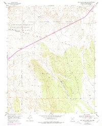
Santo Domingo Pueblo Grant and the San Felipe Indian Reservation define the administrative and cultural landscape of this high-desert terrain in Sandoval County. The historical significance of the area is anchored by the El Camino Real, which traverses the northern section alongside the more modern Pan American Central Highway. This overlap of travel eras highlights the region's enduring role as a corridor between major northern New Mexico settlements.
Find a feature on this map
23 named features on this map. Tap any name to fly to it.
Don’t see what you’re looking for? This feature index may not catch every label — zoom into the map to look around manually.
Map Details
Editions of this 1954 San Felipe Pueblo NE Map
3 editions found
Other maps of this area

1892 · San Pedro
USGS Topo · 1:125,000

1892 · Santa Clara
USGS Topo · 1:125,000

1953 · Santo Domingo Pueblo
USGS Topo · 1:24,000

1953 · Tetilla Peak
USGS Topo · 1:24,000

1953 · Santo Domingo Pueblo SW
USGS Topo · 1:24,000

1953 · Agua Fria
USGS Topo · 1:62,500

1953 · Santo Domingo Pueblo
USGS Topo · 1:62,500

1954 · San Felipe Pueblo
USGS Topo · 1:24,000

1954 · Placitas
USGS Topo · 1:24,000

1954 · Hagan
USGS Topo · 1:24,000