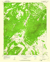
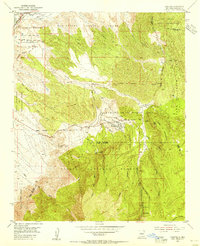
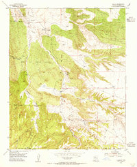
1954 Map of Sandia Park
USGS Topo · Published 1961About this map
Pa-ako Ruins and nearby Smelter Ruins anchor this mid-century survey of the mountain pass between the San Pedro Grant and Monte Largo. The landscape is defined by the sharp convergence of high-altitude drainages, including San Pedro Creek and Arroyo Armijo, where small settlements like San Antonito and Sandia Park were established along the early road networks. The influence of former industry and transportation is evident in the Old Railroad Grade and a local Gravel Pit.
Find a feature on this map
28 named features on this map. Tap any name to fly to it.
Don’t see what you’re looking for? This feature index may not catch every label — zoom into the map to look around manually.
Map Details
Editions of this 1954 Sandia Park Map
4 editions found
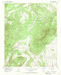
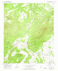
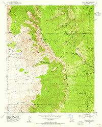
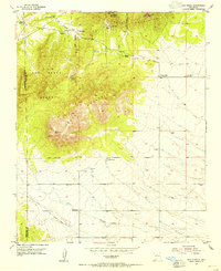
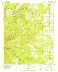
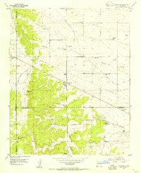
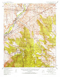
Other maps of this area

1892 · San Pedro
USGS Topo · 1:125,000
1954 · Sandia Crest
USGS Topo · 1:24,000
1954 · Placitas
USGS Topo · 1:24,000
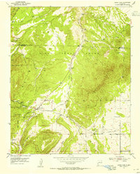
1954 · Sandia Park
USGS Topo · 1:24,000
1954 · San Pedro
USGS Topo · 1:24,000

1954 · Tijeras
USGS Topo · 1:24,000
1954 · Sedillo
USGS Topo · 1:24,000
1954 · Hagan
USGS Topo · 1:24,000
1954 · Edgewood
USGS Topo · 1:24,000
1954 · San Felipe Pueblo
USGS Topo · 1:62,500