
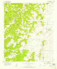
1954 Map of Chilili
USGS Topo · Published 1955About this map
The Chilili Grant defines the landscape of this mid-century survey, spanning the transition from the high ridges of Baldy down into the arroyo-carved lowlands. The settlement of Chilili sits near the southwestern corner of the quadrangle, while the presence of Old Chilili to the northeast suggests the shifting center of this historic community over time. The land is marked by numerous family homesteads and small-scale cattle operations, including the Ballinger Ranch, Clark Ranch, and Dean Ranch, illustrating the dispersed ranching economy of the New Mexico mountains.
Find a feature on this map
27 named features on this map. Tap any name to fly to it.
Don’t see what you’re looking for? This feature index may not catch every label — zoom into the map to look around manually.
Map Details
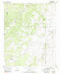
Editions of this 1954 Chilili Map
Other maps of this area

1892 · San Pedro
USGS Topo · 1:125,000

1917 · Estancia
USGS Topo · 1:125,000

1954 · Sedillo
USGS Topo · 1:24,000

1954 · Tajique
USGS Topo · 1:24,000

1954 · Escabosa
USGS Topo · 1:24,000

1954 · Edgewood
USGS Topo · 1:24,000

1954 · Milbourn Ranch
USGS Topo · 1:24,000

1954 · Socorro
USGS Topo · 1:250,000

1956 · Edgewood
USGS Topo · 1:62,500

1956 · Estancia
USGS Topo · 1:62,500