2022 Map of Chilton
USGS Topo · Published 2022About this map
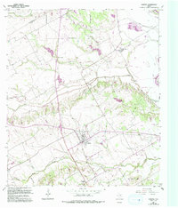
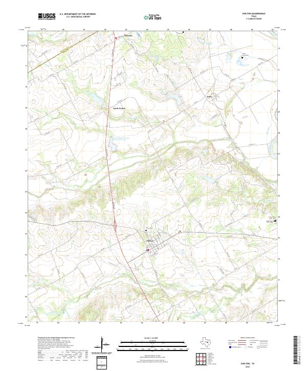
Chilton serves as the primary hub of this Central Texas landscape, situated at the junction of several rural routes including FM 434 and Golinda Dr. The topography is defined by the drainage systems of the Brazos River along the eastern edge, with numerous tributaries like Cow Bayou, Deer Cr, and Post Oak Cr carving through the terrain. This 2022 survey captures a blend of traditional ranching land and contemporary water management, evidenced by the Soil Conservation Service Site 30 Reservoir. Smaller settlements such as Satin, Golinda, and North Prairie are scattered across the quadrangle, each maintaining their identity through local landmarks. For genealogists, the map is particularly useful for locating family plots at Chilton Cem, Gurley Cem, and the divided sections of Cedar Valley Cem - East and Cedar Valley Cem - West.
Find a feature on this map
77 named features on this map. Tap any name to fly to it.
Don’t see what you’re looking for? This feature index may not catch every label — zoom into the map to look around manually.
Map Details
Editions of this 2022 Chilton Map
This is the sole edition of this map. No revisions or reprints were ever made.