1957 Map of Chilton
USGS Topo · Published 1993About this map
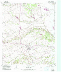
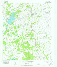
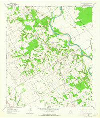
Chilton serves as the focal point of this Central Texas landscape, situated along the Southern Pacific Railroad as it transited through Falls County. The map reveals a diversified agricultural and industrial environment, from the Fish Hatchery near Golinda in the north to the Deer Creek Oil Field in the south, where numerous oil and drill holes pepper the terrain. Rural community life is anchored by landmarks like the Little Deer Creek Ch and the Cedar Valley Cem near Cedar Valley. The drainage system is dominated by the winding course of Cow Bayou and the prominent Brazos R along the eastern margin. Topography is marked by a series of levees protecting low-lying areas, while gravel extraction near Satin and Gravel Pits highlights the local mineral economy of the mid-20th century.
Find a feature on this map
25 named features on this map. Tap any name to fly to it.
Don’t see what you’re looking for? This feature index may not catch every label — zoom into the map to look around manually.
Map Details
Editions of this 1957 Chilton Map
Other maps of this area

1892 · Temple
USGS Topo · 1:125,000

1954 · Waco
USGS Topo · 1:250,000

1955 · Waco
USGS Topo · 1:250,000
1957 · Bruceville
USGS Topo · 1:24,000
1957 · Lorena
USGS Topo · 1:24,000
1957 · Riesel
USGS Topo · 1:24,000
1957 · Chilton
USGS Topo · 1:24,000
1957 · Marlin
USGS Topo · 1:24,000
1957 · Robinson
USGS Topo · 1:24,000
1962 · Cedar Springs
USGS Topo · 1:24,000