
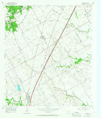
1957 Map of Lorena
USGS Topo · Published 1958About this map
The town of Lorena serves as a focal point in this mid-century portrait of southern McLennan County, situated at the junction of the Missouri Kansas Texas railroad and several developing road networks. The landscape is defined by the construction of the Blue Star Memorial Highway, which carves a path toward the growing northern settlements of Hewitt and Robinson. This era captures the transition of rural Texas prairie into a suburban corridor, evidenced by the expanding Robinson City Bdy and the presence of regional institutions like the U S Veterans Hospital.
Find a feature on this map
34 named features on this map. Tap any name to fly to it.
Don’t see what you’re looking for? This feature index may not catch every label — zoom into the map to look around manually.
Map Details
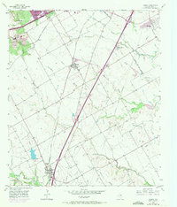
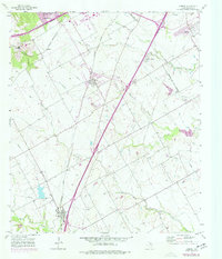
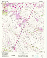
Editions of this 1957 Lorena Map
5 editions found
Other maps of this area

1892 · Temple
USGS Topo · 1:125,000

1892 · Waco
USGS Topo · 1:125,000

1920 · Waco
USGS Topo · 1:125,000

1924 · Waco 4-c
USGS Topo · 1:48,000

1924 · Waco 3-d
USGS Topo · 1:48,000

1931 · Valley Mills
USGS Topo · 1:62,500

1931 · Elm Mott
USGS Topo · 1:62,500

1931 · Mc Gregor
USGS Topo · 1:62,500

1954 · Waco
USGS Topo · 1:250,000

1955 · Waco
USGS Topo · 1:250,000