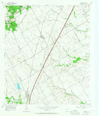
1957 Map of Lorena
USGS Topo · Published 1968About this map
Lorena and the neighboring settlements of Hewitt and Robinson sit at the intersection of a developing suburban corridor and established central Texas ranch lands in the late 1950s. The landscape is defined by the convergence of two major rail lines, the St Louis Southwestern and the Missouri Kansas Texas, which cut diagonally across the rolling plains. The presence of the Blue Star Memorial Highway and the expanding Waco City Bdy near Atco and Woodway signals the region's post-war transition toward residential growth.
Find a feature on this map
36 named features on this map. Tap any name to fly to it.
Don’t see what you’re looking for? This feature index may not catch every label — zoom into the map to look around manually.
Map Details
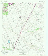
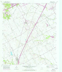
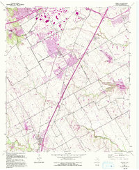
Editions of this 1957 Lorena Map
5 editions found

Other maps of this area

1892 · Temple
USGS Topo · 1:125,000

1892 · Waco
USGS Topo · 1:125,000

1920 · Waco
USGS Topo · 1:125,000

1924 · Waco 4-c
USGS Topo · 1:48,000

1924 · Waco 3-d
USGS Topo · 1:48,000

1931 · Valley Mills
USGS Topo · 1:62,500

1931 · Elm Mott
USGS Topo · 1:62,500

1931 · Mc Gregor
USGS Topo · 1:62,500

1954 · Waco
USGS Topo · 1:250,000

1955 · Waco
USGS Topo · 1:250,000