
1924 Map of Waco 3-d
USGS Topo · Published 1924About this map
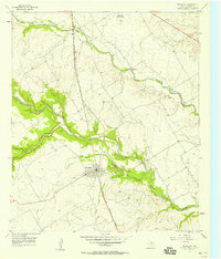
The South Bosque Oil Fields dominate the southern landscape of this 1924 survey, highlighting a period of active resource extraction along the Middle Bosque Creek. The terrain is defined by the winding paths of the North Bosque River and its numerous tributaries, which dictated the placement of essential river fords such as Lowell Crossing and Flat Rock Crossing. These crossings served a network of rural communities and family-named land features before the expansion of modern highway infrastructure.
Find a feature on this map
22 named features on this map. Tap any name to fly to it.
Don’t see what you’re looking for? This feature index may not catch every label — zoom into the map to look around manually.
Map Details
Editions of this 1924 Waco 3-d Map
This is the sole edition of this map. No revisions or reprints were ever made.
Other maps of this area

1892 · Temple
USGS Topo · 1:125,000

1892 · Waco
USGS Topo · 1:125,000

1920 · Waco
USGS Topo · 1:125,000

1924 · Waco 4-c
USGS Topo · 1:48,000

1931 · Valley Mills
USGS Topo · 1:62,500

1931 · Elm Mott
USGS Topo · 1:62,500

1931 · Mc Gregor
USGS Topo · 1:62,500

1954 · Waco
USGS Topo · 1:250,000

1955 · Waco
USGS Topo · 1:250,000
1957 · Crawford
USGS Topo · 1:24,000