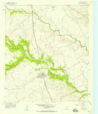
1957 Map of Crawford
USGS Topo · Published 1957About this map
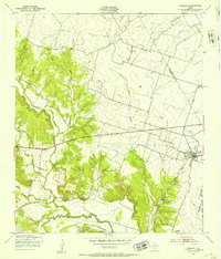
Crawford serves as the central hub of this mid-century survey, situated at the junction of the Gulf Colorado and Santa Fe (A T & S F) railroad and local routes. The landscape is defined by the winding paths of the Middle Bosque River and Hog Creek, which cut through the limestone terrain and create distinctive features such as Sycamore Hole. The placement of Patton Ch and Compton Ch along with the Crawford Cem highlights the established rural community structure of the late 1950s.
Find a feature on this map
21 named features on this map. Tap any name to fly to it.
Don’t see what you’re looking for? This feature index may not catch every label — zoom into the map to look around manually.
Map Details
Editions of this 1957 Crawford Map
2 editions found
Other maps of this area
1888 · Meridian
USGS Topo · 1:125,000

1892 · Temple
USGS Topo · 1:125,000

1892 · Waco
USGS Topo · 1:125,000
1894 · Meridian
USGS Topo · 1:125,000

1894 · Gatesville
USGS Topo · 1:125,000

1920 · Waco
USGS Topo · 1:125,000
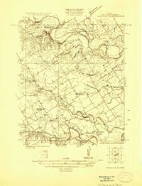
1924 · Waco 3-d
USGS Topo · 1:48,000
1931 · Valley Mills
USGS Topo · 1:62,500
1931 · Mc Gregor
USGS Topo · 1:62,500
1947 · Oglesby
USGS Topo · 1:24,000