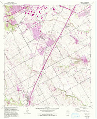
1957 Map of Lorena
USGS Topo · Published 1993About this map
Lorena and its surrounding McLennan County communities are captured here during a period of significant suburban expansion south of Waco. The map illustrates the emerging corporate boundaries of Woodway, Hewitt, and Robinson, contrasting established town centers with new residential developments like the Mobile Home Park. Education and community infrastructure are central to the landscape, evidenced by the Midway High Sch and Lorena High Sch.
Find a feature on this map
51 named features on this map. Tap any name to fly to it.
Don’t see what you’re looking for? This feature index may not catch every label — zoom into the map to look around manually.
Map Details
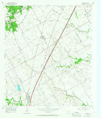
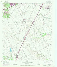
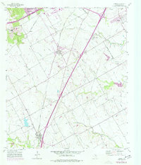
Editions of this 1957 Lorena Map
5 editions found

Other maps of this area

1892 · Temple
USGS Topo · 1:125,000

1892 · Waco
USGS Topo · 1:125,000

1920 · Waco
USGS Topo · 1:125,000

1924 · Waco 4-c
USGS Topo · 1:48,000

1924 · Waco 3-d
USGS Topo · 1:48,000

1931 · Valley Mills
USGS Topo · 1:62,500

1931 · Elm Mott
USGS Topo · 1:62,500

1931 · Mc Gregor
USGS Topo · 1:62,500

1954 · Waco
USGS Topo · 1:250,000

1955 · Waco
USGS Topo · 1:250,000