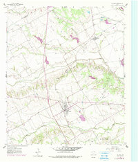
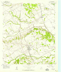
1957 Map of Chilton
USGS Topo · Published 1979About this map
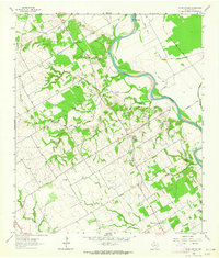
The community of Chilton serves as the focal point of this Falls County landscape, situated at a crossroads just west of the Deer Creek Oil Field. This survey shows a transition from agricultural bottoms along the Brazos R to the upland prairies characterized by numerous small branches and creeks like Cow Bayou and Bull Hide Creek. Evidence of local industry and infrastructure is present in the Old Railroad Grade and several Gravel Pits scattered near the river. Local genealogy and social history are anchored by landmarks such as Cedar Valley Ch and Little Deer Creek Ch, alongside small rural settlements including Satin, Golinda, and North Prairie. The map's terrain is defined by a network of levees protecting the lowlands, reflecting a landscape shaped by water management and the demands of both ranching and early petroleum exploration.
Find a feature on this map
25 named features on this map. Tap any name to fly to it.
Don’t see what you’re looking for? This feature index may not catch every label — zoom into the map to look around manually.
Map Details
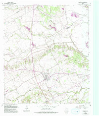
Editions of this 1957 Chilton Map
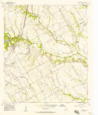
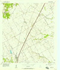
Other maps of this area

1892 · Temple
USGS Topo · 1:125,000

1954 · Waco
USGS Topo · 1:250,000

1955 · Waco
USGS Topo · 1:250,000
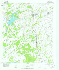
1957 · Bruceville
USGS Topo · 1:24,000
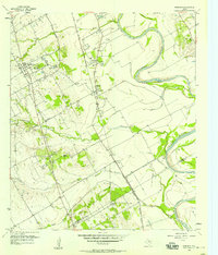
1957 · Lorena
USGS Topo · 1:24,000
1957 · Riesel
USGS Topo · 1:24,000
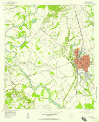
1957 · Chilton
USGS Topo · 1:24,000
1957 · Marlin
USGS Topo · 1:24,000
1957 · Robinson
USGS Topo · 1:24,000
1962 · Cedar Springs
USGS Topo · 1:24,000