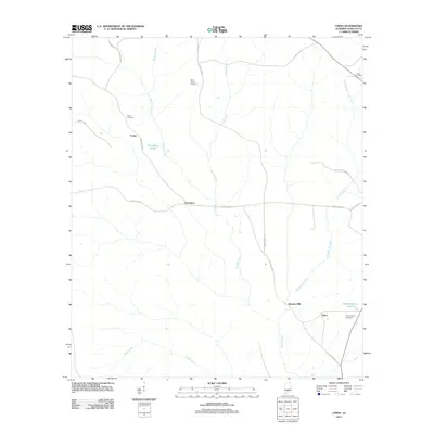
2011 Map of China
USGS Topo · Published 2011About this map
Murder Creek and its southern-reaching tributaries define the drainage patterns of this Conecuh County landscape, where small rural settlements and family landmarks are connected by a network of county highways. The map details established communities such as China and Bookers Mill in the southeast, alongside smaller locales like Fairnelson and Fowler. Local heritage is preserved through several documented burial grounds, including Martin Cemetery and New Haven Cemetery. The terrain is characterized by numerous water features, from the flowing waters of Shack Creek and Spring Creek to still waters at Blackmons Pond and Witheringtons Pond. This survey provides a precise view of the rural infrastructure at the start of the 2010s, tracing the paths of County Hwy-13 and County Hwy-21 as they navigate the creek valleys and upland ridges.
Find a feature on this map
24 named features on this map. Tap any name to fly to it.
Don’t see what you’re looking for? This feature index may not catch every label — zoom into the map to look around manually.
Map Details
Editions of this 2011 China Map
This is the sole edition of this map. No revisions or reprints were ever made.
Other maps of this area

1953 · Andalusia
USGS Topo · 1:250,000

1957 · Andalusia
USGS Topo · 1:250,000

1967 · Beatrice
USGS Topo · 1:24,000

1971 · Lyeffion
USGS Topo · 1:24,000

1971 · Belleville
USGS Topo · 1:24,000

1971 · Skinnerton
USGS Topo · 1:24,000

1971 · China
USGS Topo · 1:24,000

1971 · Burnt Corn
USGS Topo · 1:24,000

1971 · Repton
USGS Topo · 1:24,000

1971 · Bethel
USGS Topo · 1:24,000