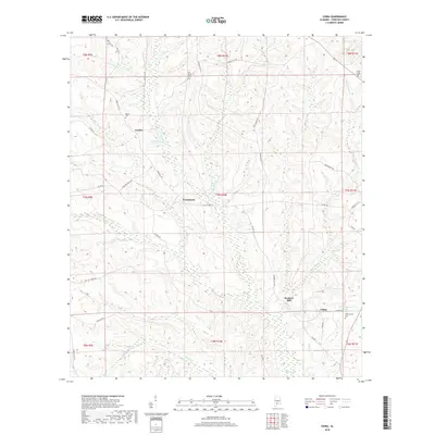
2018 Map of China
USGS Topo · Published 2018About this map
Murder Cr and its tributaries, including Spring Cr and Shack Cr, carve a complex drainage pattern across this rural Conecuh County landscape. The settlement of China sits in the southeastern corner near Witheringtons Pond and the associated Witherington Cem, while other small communities like Fairnelson, Fowler, and Bookers Mill are scattered along a network of county roads. For genealogists, the map preserves the locations of family and community burial grounds such as New Haven Cem, Martin Cem, and Kaiser Cem. The terrain is defined by low ridges and bottomlands, with naming conventions like Wild Turkey Rd and Thad Grimes Rd reflecting the local wildlife and land-owning families that shaped this timber and agricultural region.
Find a feature on this map
45 named features on this map. Tap any name to fly to it.
Don’t see what you’re looking for? This feature index may not catch every label — zoom into the map to look around manually.
Map Details
Editions of this 2018 China Map
This is the sole edition of this map. No revisions or reprints were ever made.
Other maps of this area
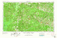
1953 · Andalusia
USGS Topo · 1:250,000
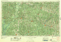
1957 · Andalusia
USGS Topo · 1:250,000
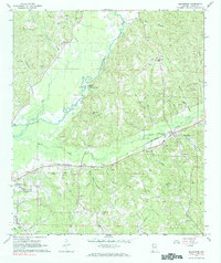
1967 · Beatrice
USGS Topo · 1:24,000
1971 · Lyeffion
USGS Topo · 1:24,000
1971 · Belleville
USGS Topo · 1:24,000
1971 · Skinnerton
USGS Topo · 1:24,000
1971 · China
USGS Topo · 1:24,000
1971 · Burnt Corn
USGS Topo · 1:24,000
1971 · Repton
USGS Topo · 1:24,000
1971 · Bethel
USGS Topo · 1:24,000