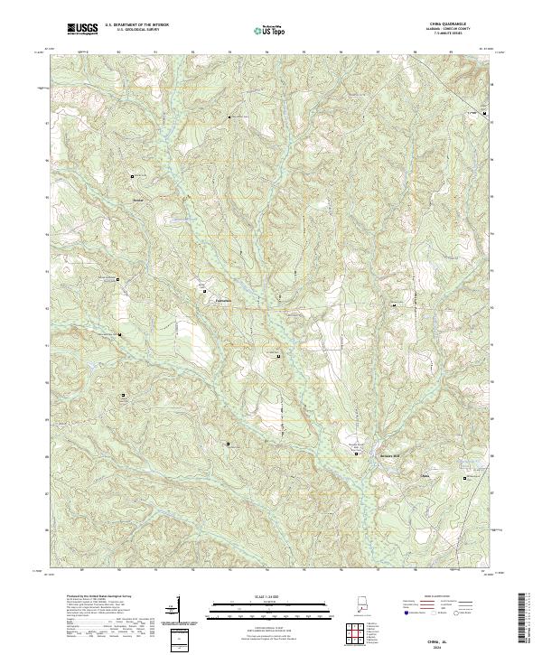
2024 Map of China
USGS Topo · Published 2024About this map
Murder Creek and its diverse tributaries, including Spring Creek and Shack Creek, carve through this rural landscape in Conecuh County, Alabama. The settlement patterns are defined by small crossroads and family landmarks, with China and Bookers Mill serving as focal points in the southeastern corner. The map is a significant resource for genealogical research, documenting numerous family and community burial grounds such as A J Ellis Cem, Ithiel Lee Cem, Brewer Cem, and Sardis Cem.
Find a feature on this map
57 named features on this map. Tap any name to fly to it.
Don’t see what you’re looking for? This feature index may not catch every label — zoom into the map to look around manually.
Map Details
Editions of this 2024 China Map
This is the sole edition of this map. No revisions or reprints were ever made.
Other maps of this area

1953 · Andalusia
USGS Topo · 1:250,000

1957 · Andalusia
USGS Topo · 1:250,000

1967 · Beatrice
USGS Topo · 1:24,000

1971 · Lyeffion
USGS Topo · 1:24,000

1971 · Belleville
USGS Topo · 1:24,000

1971 · Skinnerton
USGS Topo · 1:24,000

1971 · China
USGS Topo · 1:24,000

1971 · Burnt Corn
USGS Topo · 1:24,000

1971 · Repton
USGS Topo · 1:24,000

1971 · Bethel
USGS Topo · 1:24,000