2022 Map of China Grove
USGS Topo · Published 2022About this map
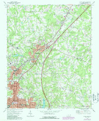
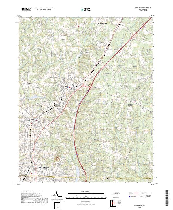
China Grove and Landis anchor a corridor of dense residential and industrial development along the Rowan Co and Cabarrus Co line. This modern topographic study reveals a landscape transitioning from historical textile-town centers to suburban expansion, with infrastructure reaching toward Salisbury and Kannapolis. Significant burial grounds, including China Grove Cem, Green Lawn Cem, and West Lawn Memorial Park, provide essential points of reference for local historians. The eastern half of the map retains its rural character, defined by the winding paths of Cold Water Creek and Dutch Buffalo Cr, while the western edge is marked by Lake Corriher and the settlement at Five Forks. Aviation history is represented by the proximity of Wilhelm Airport and Sloop Airport, two small-scale airfields situated amidst the rolling terrain of the North Carolina Piedmont.
Find a feature on this map
283 named features on this map. Tap any name to fly to it.
Don’t see what you’re looking for? This feature index may not catch every label — zoom into the map to look around manually.
Map Details
Editions of this 2022 China Grove Map
This is the sole edition of this map. No revisions or reprints were ever made.