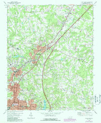
1970 Map of China Grove
USGS Topo · Published 1987About this map
China Grove and Landis anchor this 1970s landscape, illustrating the suburban and industrial growth along the Southern railroad corridor. The map highlights the transition of the region as Interstate 85 cuts through the Piedmont, connecting these textile-centric communities. For genealogists and local historians, the sheet is exceptionally dense with community landmarks, including Greenlawn Cem, West Lawn Memorial Park, and numerous rural congregations such as Prince of Peace Ch and Oak Grove Ch.
Find a feature on this map
53 named features on this map. Tap any name to fly to it.
Don’t see what you’re looking for? This feature index may not catch every label — zoom into the map to look around manually.
Map Details
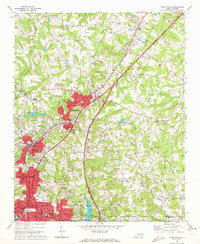
Editions of this 1970 China Grove Map
2 editions found
Other maps of this area

1893 · Statesville
USGS Topo · 1:125,000

1941 · Charlotte
USGS Topo · 1:125,000

1942 · Charlotte
USGS Topo · 1:125,000

1949 · Kannapolis
USGS Topo · 1:24,000

1950 · Concord
USGS Topo · 1:24,000

1953 · Charlotte
USGS Topo · 1:250,000

1954 · Charlotte
USGS Topo · 1:250,000

1957 · Mount Pleasant
USGS Topo · 1:62,500

1960 · Charlotte
USGS Topo · 1:250,000

1962 · Charlotte
USGS Topo · 1:250,000