Loading...
Loading map...2022 Map of Chrisney
USGS Topo · Published 2022About this map
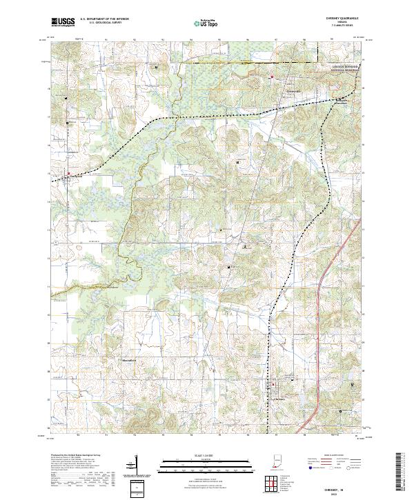
Lincoln Boyhood National Memorial sits at the northern edge of this Spencer County landscape, preserving the site where Abraham Lincoln spent his formative years. The area is defined by its rural character and the slow winding of Little Pigeon Creek and its many tributaries, such as Pokeberry Creek and Buckhorn Creek. Small communities like Chrisney and Gentryville serve as local hubs, connected by a network of county roads and rail lines meeting at Rockport Junction.
Find a feature on this map
102 named features on this map. Tap any name to fly to it.
Don’t see what you’re looking for? This feature index may not catch every label — zoom into the map to look around manually.
Map Details
Date Portrayed2022
Date Published2022
PublisherU.S. Geological Survey
Map TypeTopographic
Scale1:24000
Physical Dimensions24 x 29 inches
Editions of this 2022 Chrisney Map
This is the sole edition of this map. No revisions or reprints were ever made.
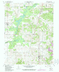
Historical Maps of Kercheval Through Time
Featured Locations
Source Details
SourceU.S. Geological Survey
CopyrightPublic Domain