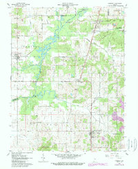
1960 Map of Chrisney
USGS Topo · Published 1988About this map
Gentryville and Chrisney serve as central hubs in this corner of southwestern Indiana, where the Southern Railway corridor shaped local industry and transit during the mid-20th century. The landscape is characterized by the complex drainage of the Little Pigeon Creek Wetlands, which weave through the townships of Pigeon, Jackson, and Grass.
Find a feature on this map
47 named features on this map. Tap any name to fly to it.
Don’t see what you’re looking for? This feature index may not catch every label — zoom into the map to look around manually.
Map Details
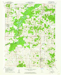
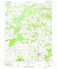
Editions of this 1960 Chrisney Map
Other maps of this area

1900 · St Meinrad
USGS Topo · 1:62,500

1900 · De Gonia Springs
USGS Topo · 1:62,500

1901 · Owensboro
USGS Topo · 1:62,500

1902 · Ditney
USGS Topo · 1:125,000

1902 · Degonia Springs
USGS Topo · 1:62,500

1903 · St. Meinrad
USGS Topo · 1:62,500

1903 · Tell City
USGS Topo · 1:62,500

1952 · Rockport
USGS Topo · 1:24,000

1953 · Lewisport
USGS Topo · 1:24,000

1954 · Evansville
USGS Topo · 1:250,000