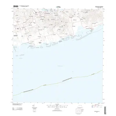
2013 Map of Christiansted
USGS Topo · Published 2013About this map
Christiansted serves as the central hub of this Saint Croix landscape, where the historic town grid meets the waters of Christiansted Bay. The map reveals a dense network of estates and settlements that speak to the island's plantation history and modern development, including Bulows Minde, Annas Hope, and Cathrines Rest. These names often reflect the historical divisions of the land into colonial-era estates, many of which have evolved into the residential communities seen here.
Find a feature on this map
76 named features on this map. Tap any name to fly to it.
Don’t see what you’re looking for? This feature index may not catch every label — zoom into the map to look around manually.
Map Details
Editions of this 2013 Christiansted Map
This is the sole edition of this map. No revisions or reprints were ever made.
Other maps of this area
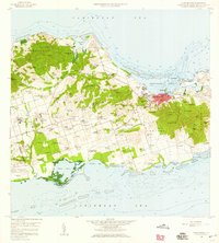
1958 · Christiansted
USGS Topo · 1:24,000
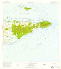
1958 · East Point
USGS Topo · 1:24,000
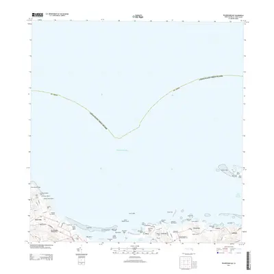
2013 · Beauregard Bay
USGS Topo · 1:20,000
2013 · Buck Island
USGS Topo · 1:20,000
2013 · Grass Point
USGS Topo · 1:20,000
2013 · Long Point
USGS Topo · 1:20,000
2013 · Baron Bluff
USGS Topo · 1:20,000
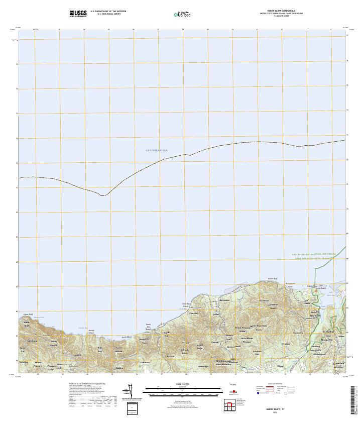
2024 · Baron Bluff
USGS Topo · 1:20,000
2024 · Grass Point
USGS Topo · 1:20,000
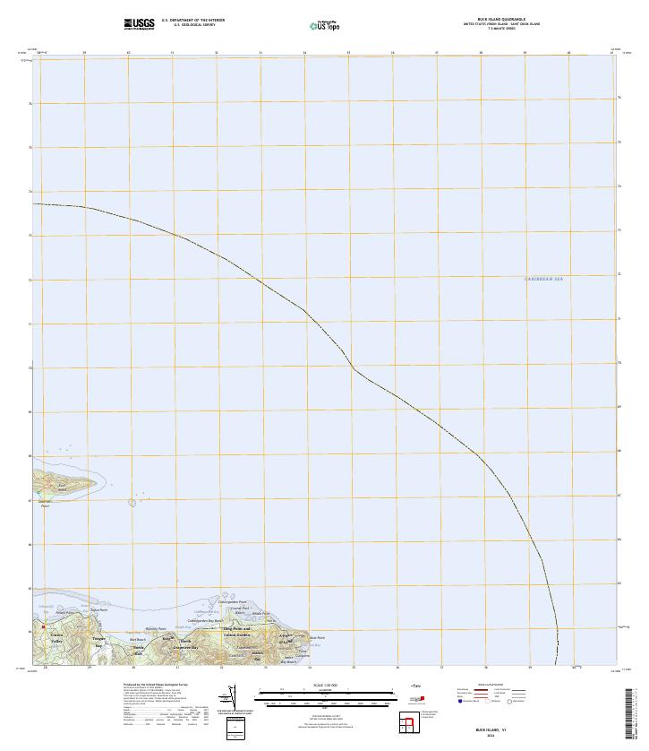
2024 · Buck Island
USGS Topo · 1:20,000
Featured Places
- Longford (Anna's Hope Village), Saint Croix District
- Work and Rest, Saint Croix District
- Contentment, Saint Croix District
- Marienhoj, Saint Croix District
- Bellevue, Saint Croix District